
Historical and ethnographic heritage – part of the sustainable


| GPS | (48.335135; 25.893949) |
| district | Chernivtsi |
| region | Sadhirsky |
| locality | Chernivtsi |
| address | |
| category | Archeological memorable places |
| year | ХІІ-ХІІІ ст. |
| ethnic |
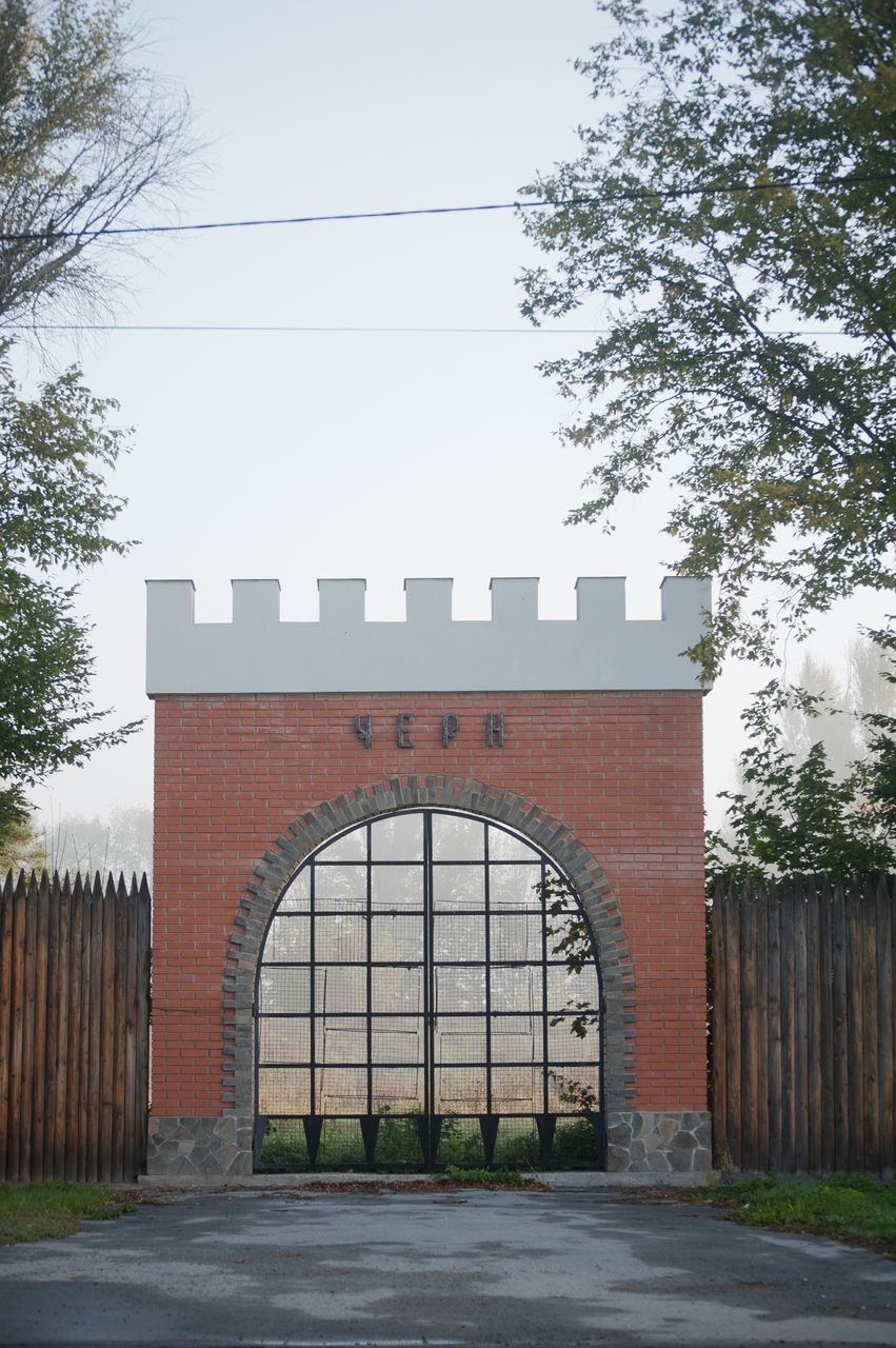
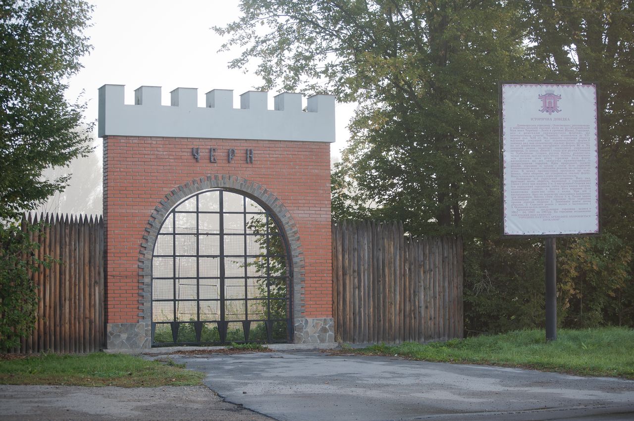
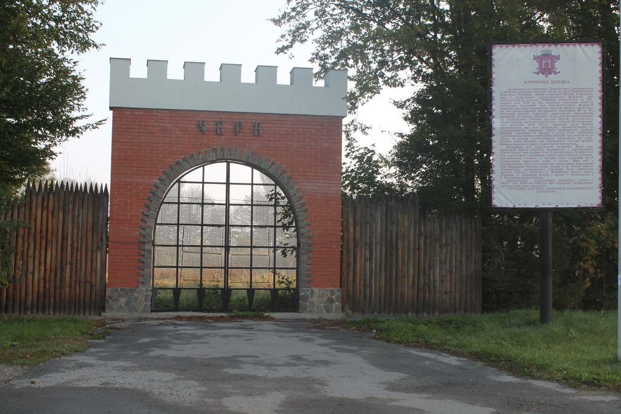
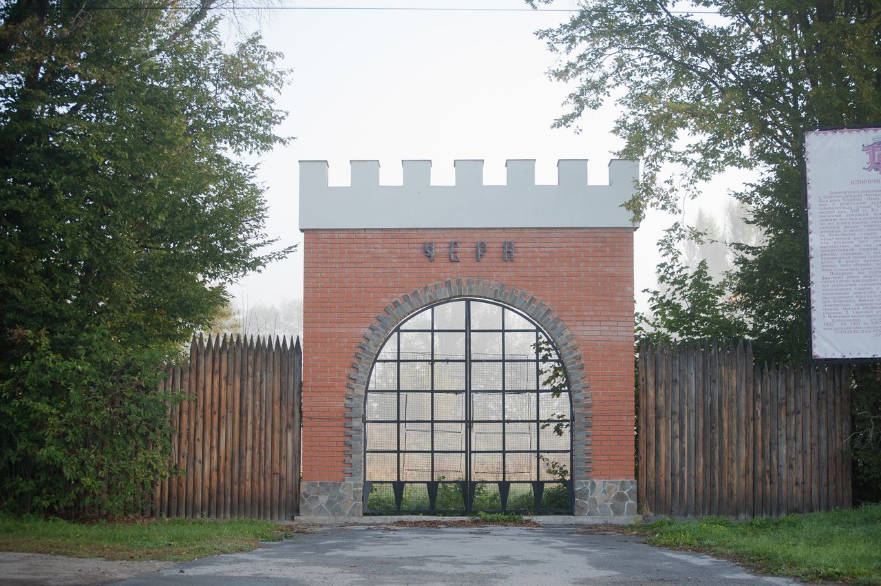
259. The research of the memorial was carried out by Austrian and domestic scientists. The annular mound with diameter of 80 m, height of 2 m and width of 5 m in the basis remained from the memorial. A defensive ditch in front of the shaft had a depth of up to 3.65 m, a width of 14 m. At the top of the mound there were built wooden structures – breastworks, to which the housing and defense crates were attached. In the XVII century two bastions were attached to the mound, and the mound itself was added to a height of 3.5 m and extended to 15-20 m. In the middle of the XIX century the southern half of the fort was demolished. Behind the fortifications there was a posad of a town with a size of 1000x300x400 m. On its territory the remains of ground carcass dwellings with mud ovens, household pit cellars, ground facilities were excavated. During the research of the settlement and posad there were discovered typical ancient Russian pottery, ironwork (household items, weapons, tools), ornaments of glass and metal, objects of Christian worship and more. Under assumptions of scientists, the urban settlements could be called Chern or Prut.