
Historical and ethnographic heritage – part of the sustainable


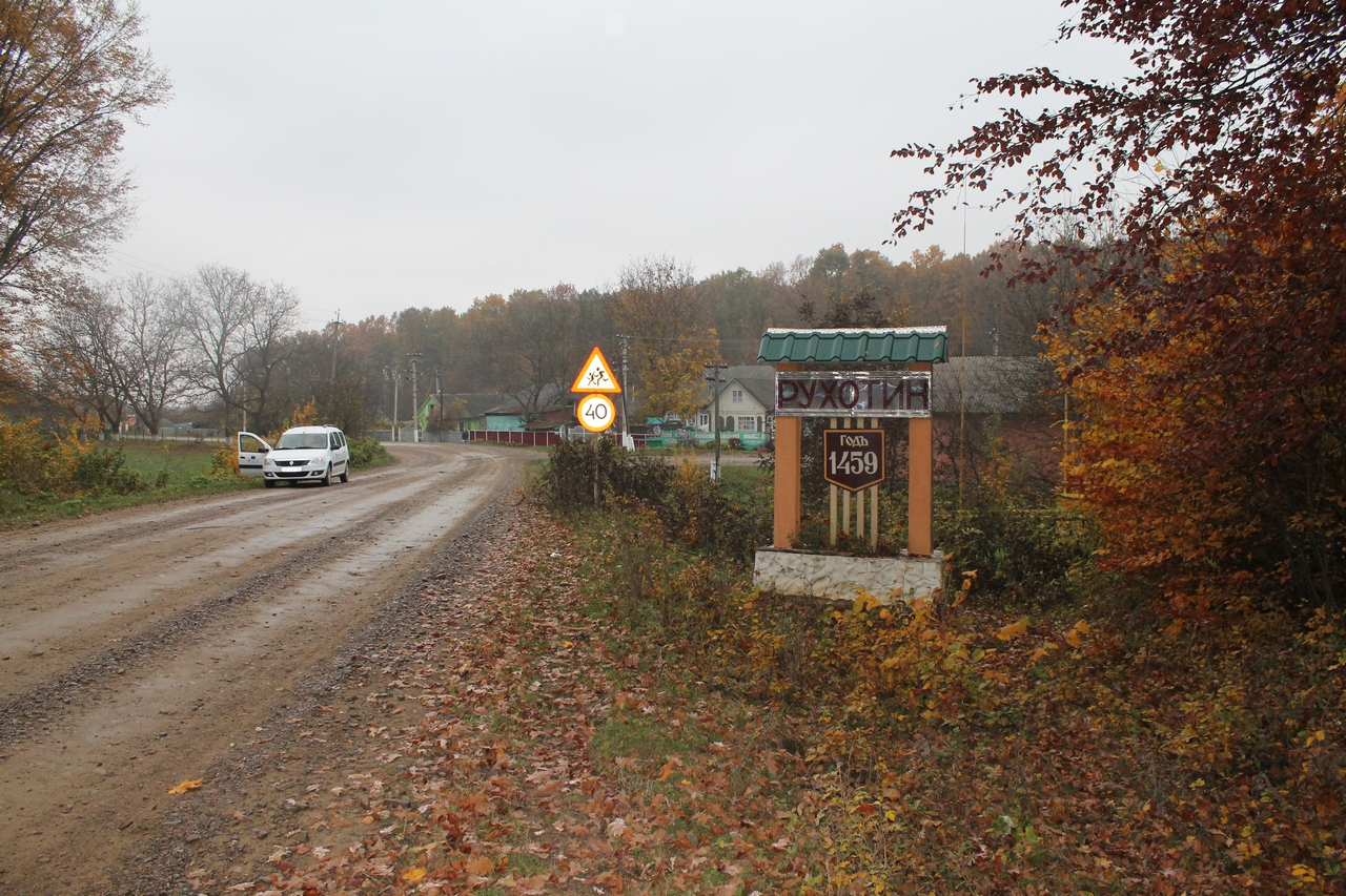
| GPS | (48.51391; 26.21993) |
| district | Chernivtsi |
| region | Khotyn |
| locality | Rukhotyn village |
| address | |
| category | |
| year | |
| ethnic |
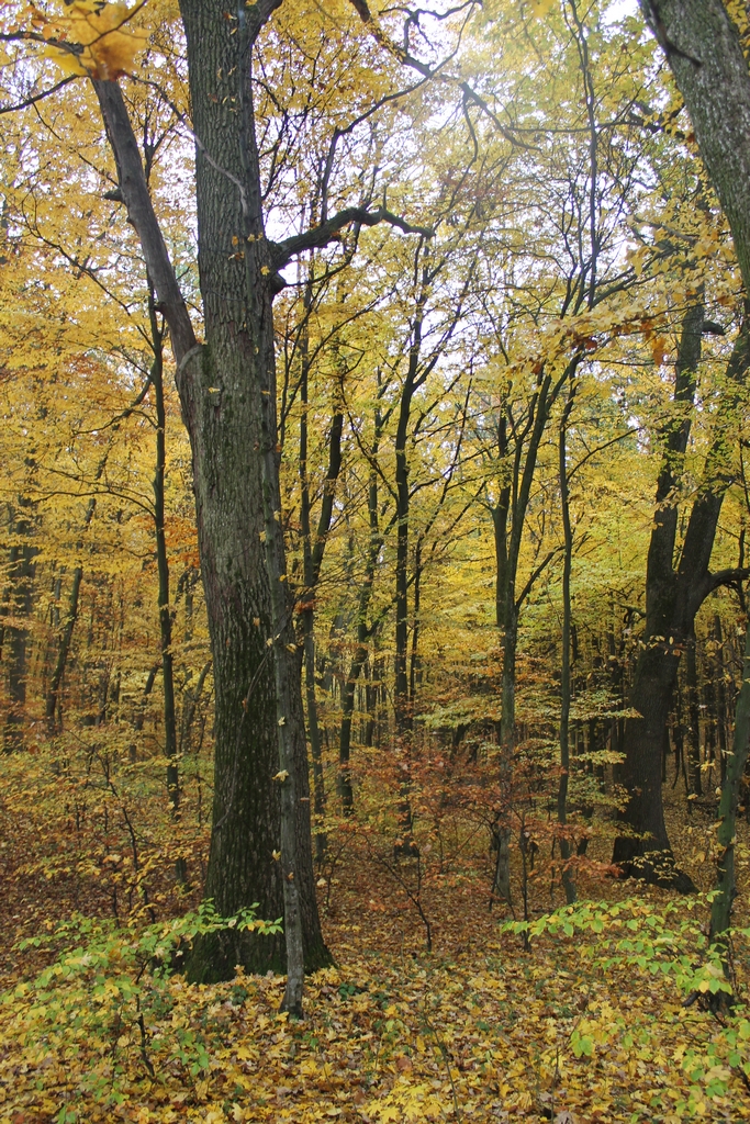
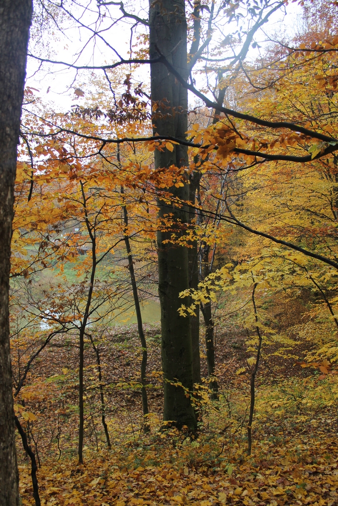
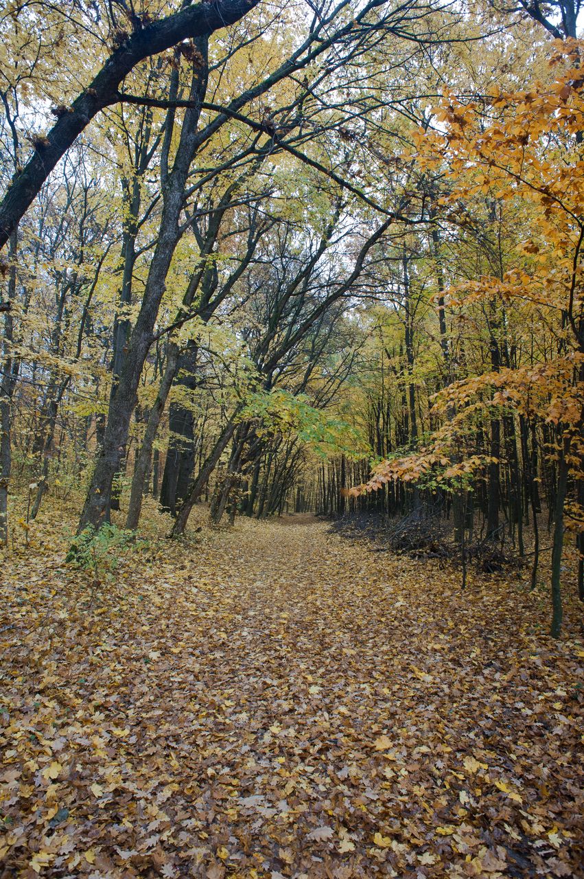
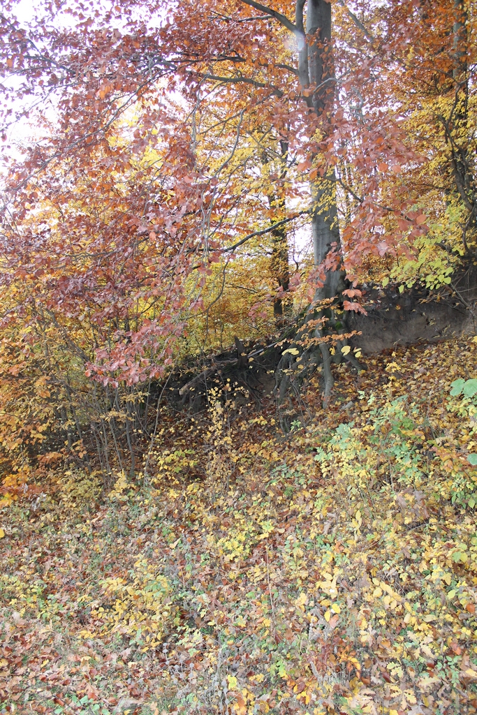
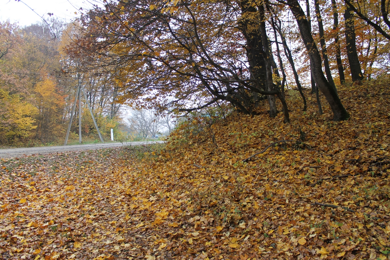
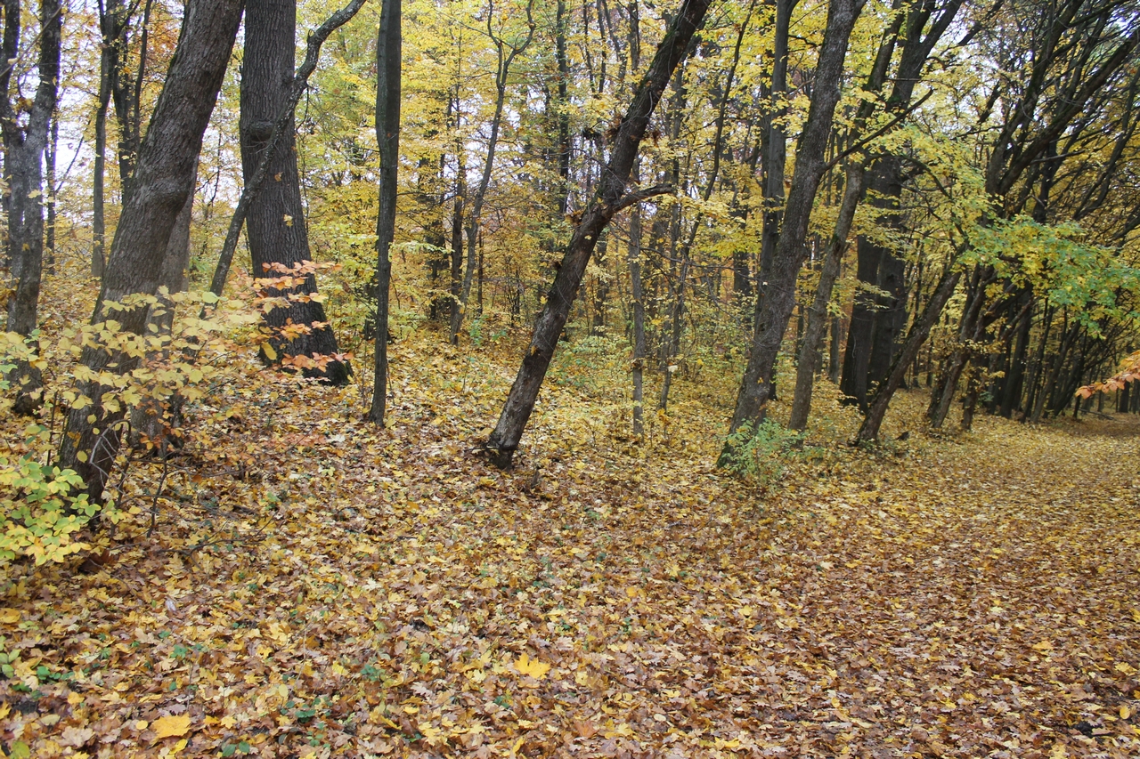
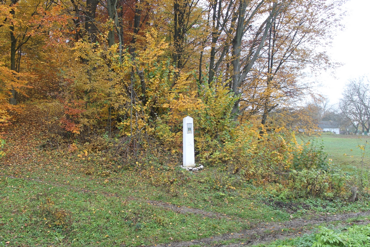
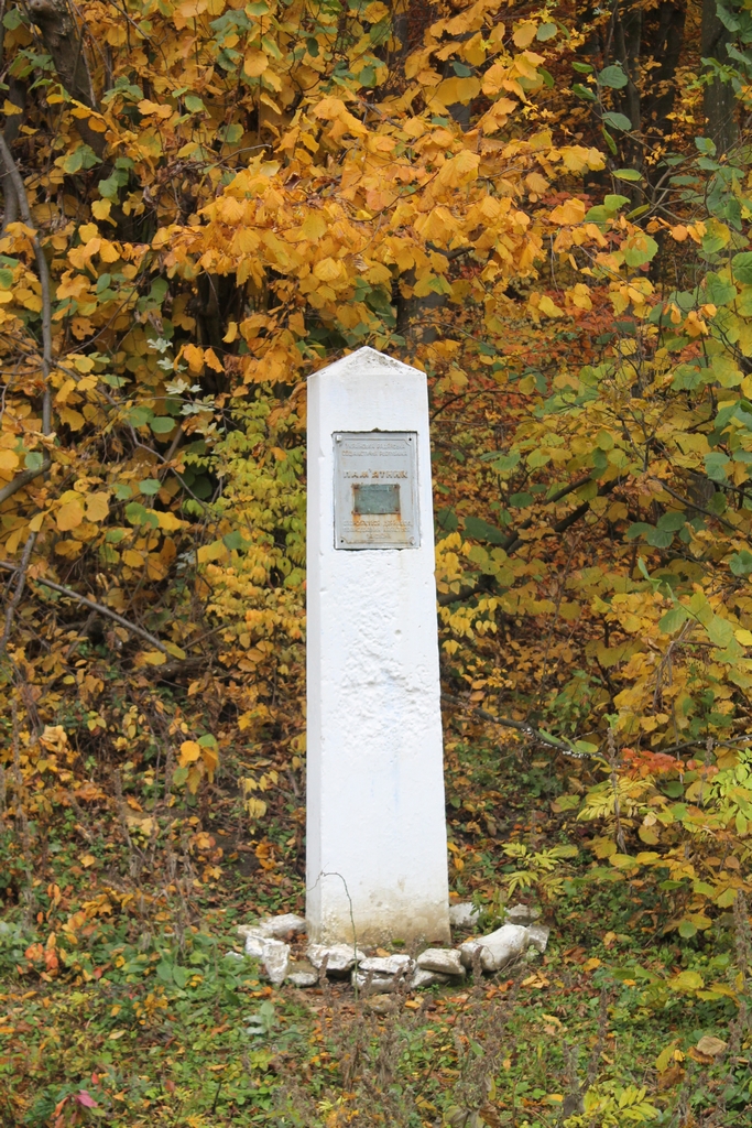
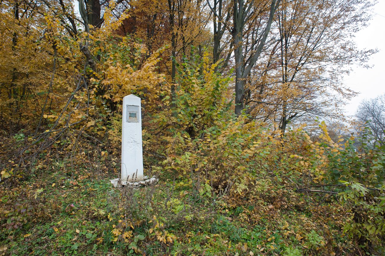
At the outskirts of the village the archaeological site has preserved – ramparts of Scythian fortified settlement. Their height is 6 – 9 m, width – up to 35 m. The inner square has a diameter of about 500 – 700 m. From the outside of the fortification a wide and deep moat runs, in some places still filled with water. Some scientists believe that there was an ancient Hiyeukaty city that was described by Byzantine emperor Constantine VII Porphyrogennetos in the X century A.D. in his writings (the book “On the peoples”). Within a radius of 2 – 4 km in the forest there are located several more smaller ramparts-settlements. One of them is on a hill called Zamchyshe (site of ancient castle), which has a rather complex system of fortifications. Square size is 230 x 170 m. The slopes of rampart are lined with stones that are barely noticeable among the grass. Both from the central Rampart and from Zamchyshe the straight shafts stretch eastbound that disappear after 100-150 meters among terrain. What are they for is unknown! Legend says that the Rampart was built by the Turks. University professor B.O. Tymoshchuk (deceased) in the guide “Khotyn” refers to the age of structure – VI century B.C. It says that this place served the residents of surrounding settlements for harboring livestock – their main wealth, during the attacks of the enemies. To withstand the siege, one needs at least 30-40 thousand of defenders. This is a strong argument to the fact that the ancient, sixth city on the right bank of the Dniester – Hiyeukaty actually existed here. An interesting thing between Zamchyshya and Rampart is a small settlement with a rampart of 2 – 3 m in height. The inner square is 40 – 45 m in diameter. Expressive is the road to the settlement, which ends just before the entry. Perhaps there was a suspension bridge. By all indications (in the center of settlements), this earthen structure could serve as a common sanctuary for all the surrounding settlements... The modern name of this settlement is Bate(a)reya (Battery). And it is called like that because during the First World War a battery was really located there. The war has left many notches: all the surrounding forests are pitted with trenches, bunkers, redoubts, calmed with cemeteries – Russian, Austrian ones... And now boys still find shells at the site of the fighting, so they could shake the holy silence with terrifying explosions on the night before Easter. This is the tradition here. The mysterious one is a settlement that is in the distance of 700 meters from Rampart. Located in the woods on the hill above Dniester. The height of shaft is 3 – 3.5 m, diameter of the circle is 300 meters. But this building is in hollow form some reason. One sees the shaft from above. After a long study of the relief it appeared that once this settlement was on a height, “on a navel”. But somewhere several centuries back there had been major natural disasters that led to particularly large landslides – and the settlement ended up at the bottom. These effects of slides are reflected in toponymy of surrounding area (Pershy valok (First rampart), Druhy valok (Second rampart), Hley (Clay)...) Afterwards these lands were part of Kievan Rus. Later they belonged to Galicia-Volyn principality and were inhabited by Slavs.