
Historical and ethnographic heritage – part of the sustainable


| GPS | (47.661304473877; 26.241456985474) |
| district | Suceava |
| region | Suceava |
| locality | Suceava |
| address | |
| category | Military history attractions |
| year | 1390 |
| ethnic | Romanians |
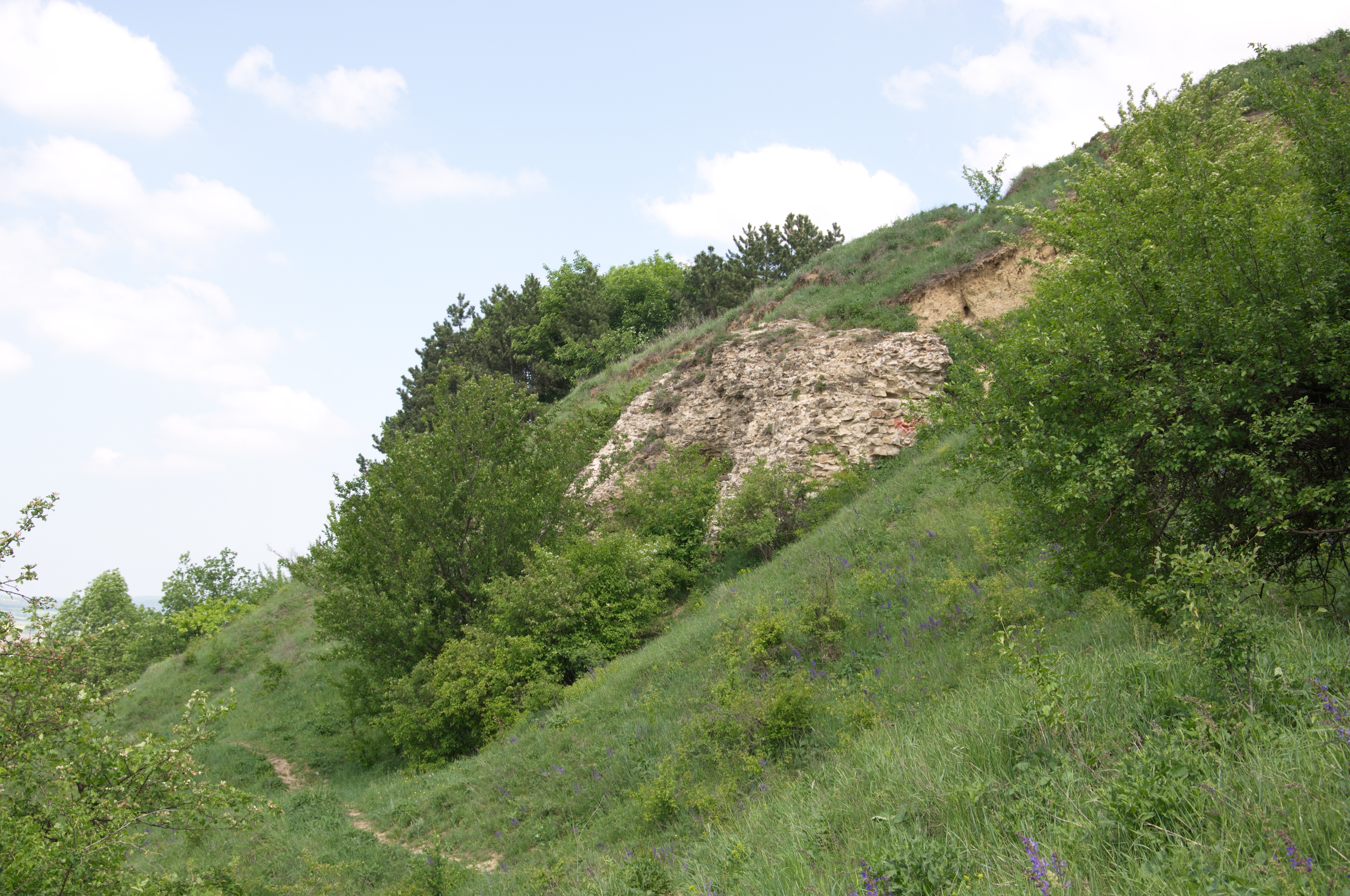
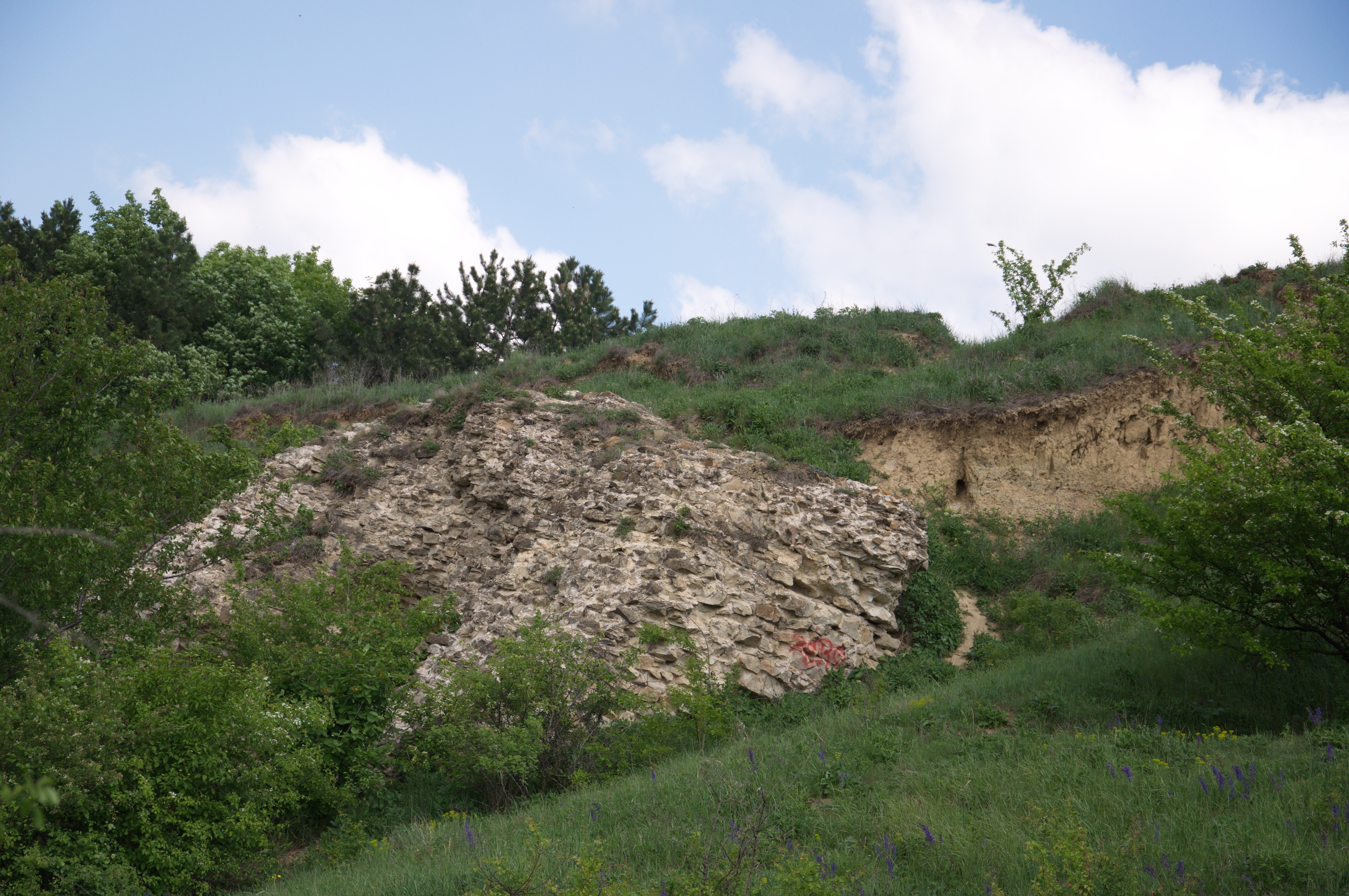
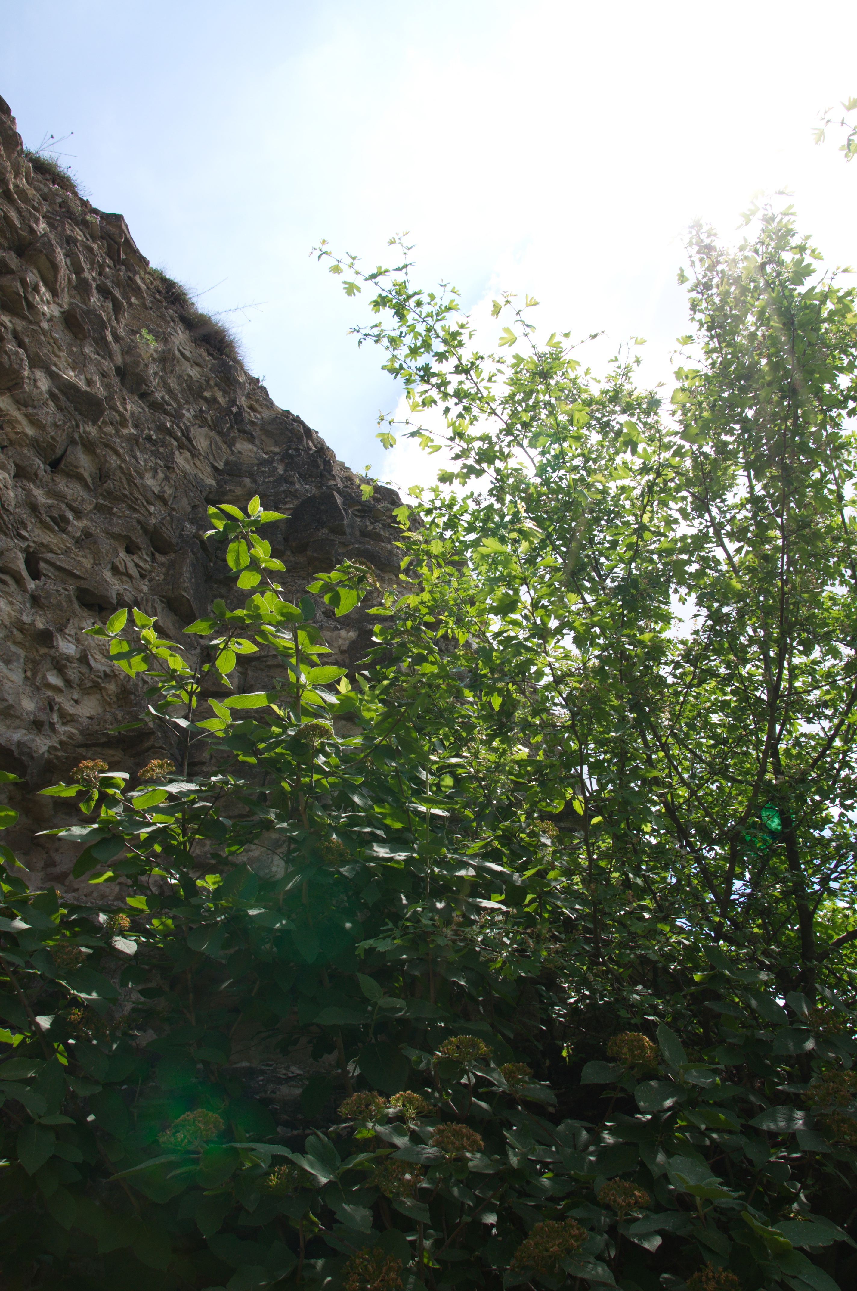
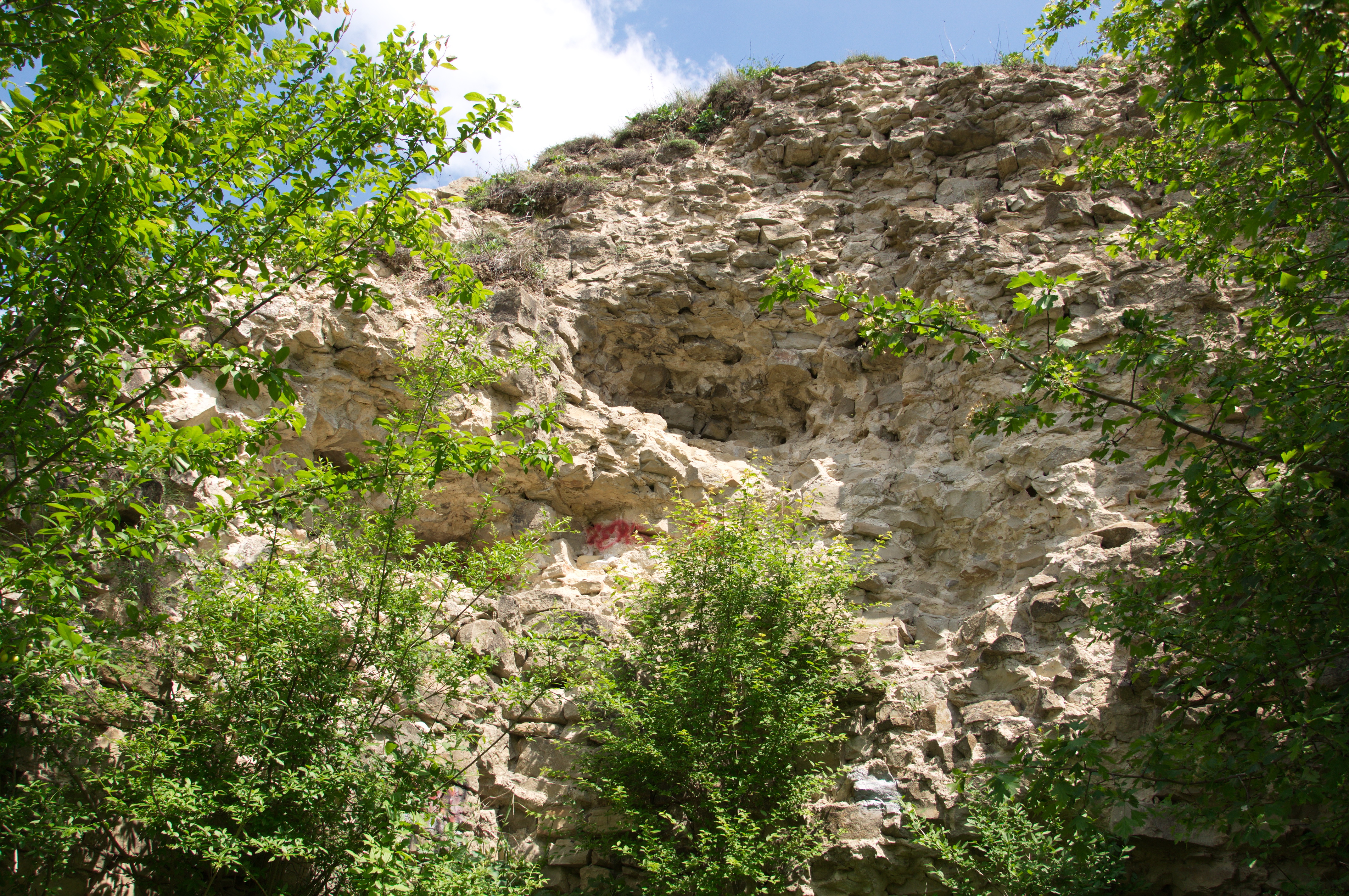
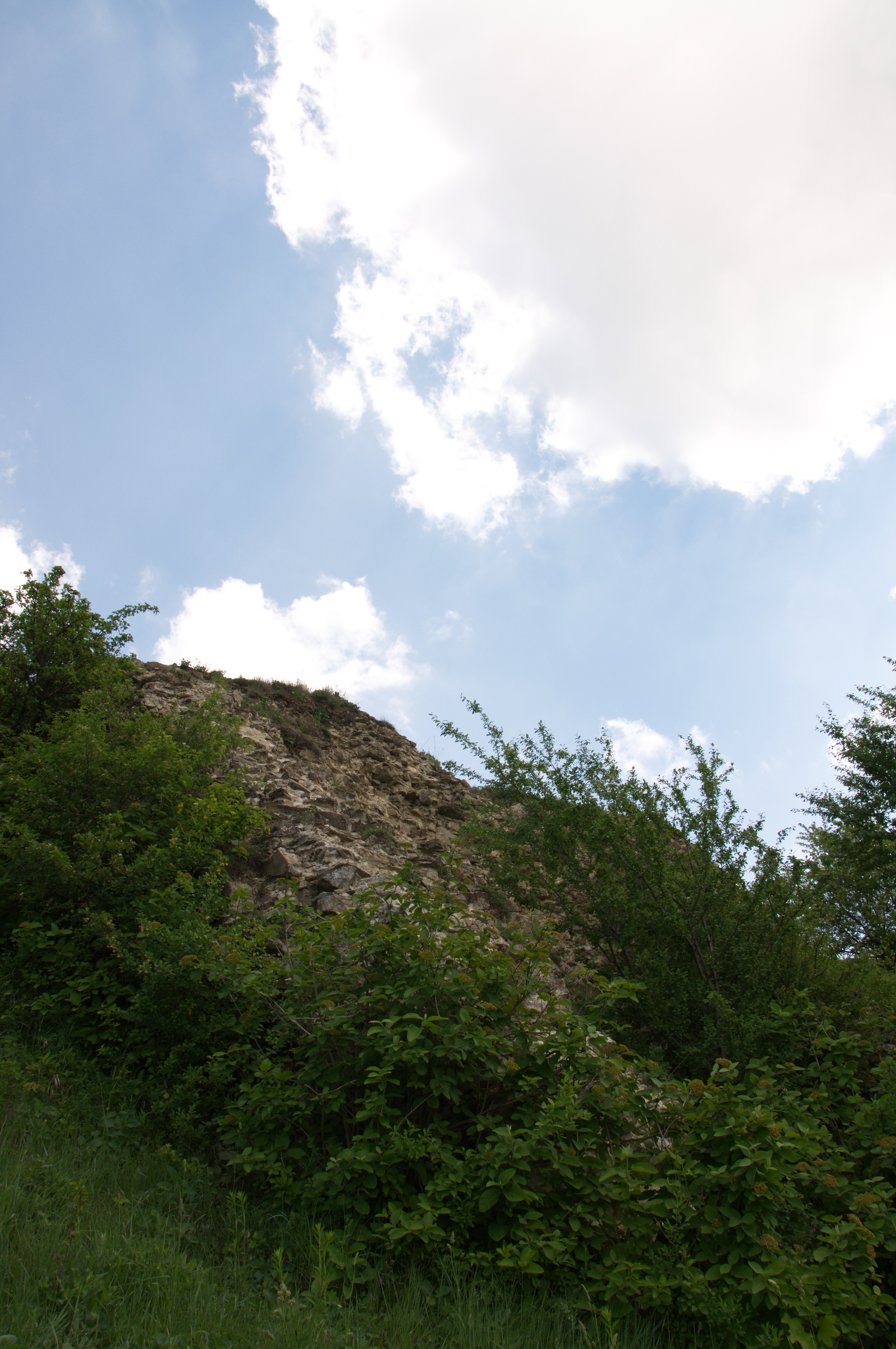
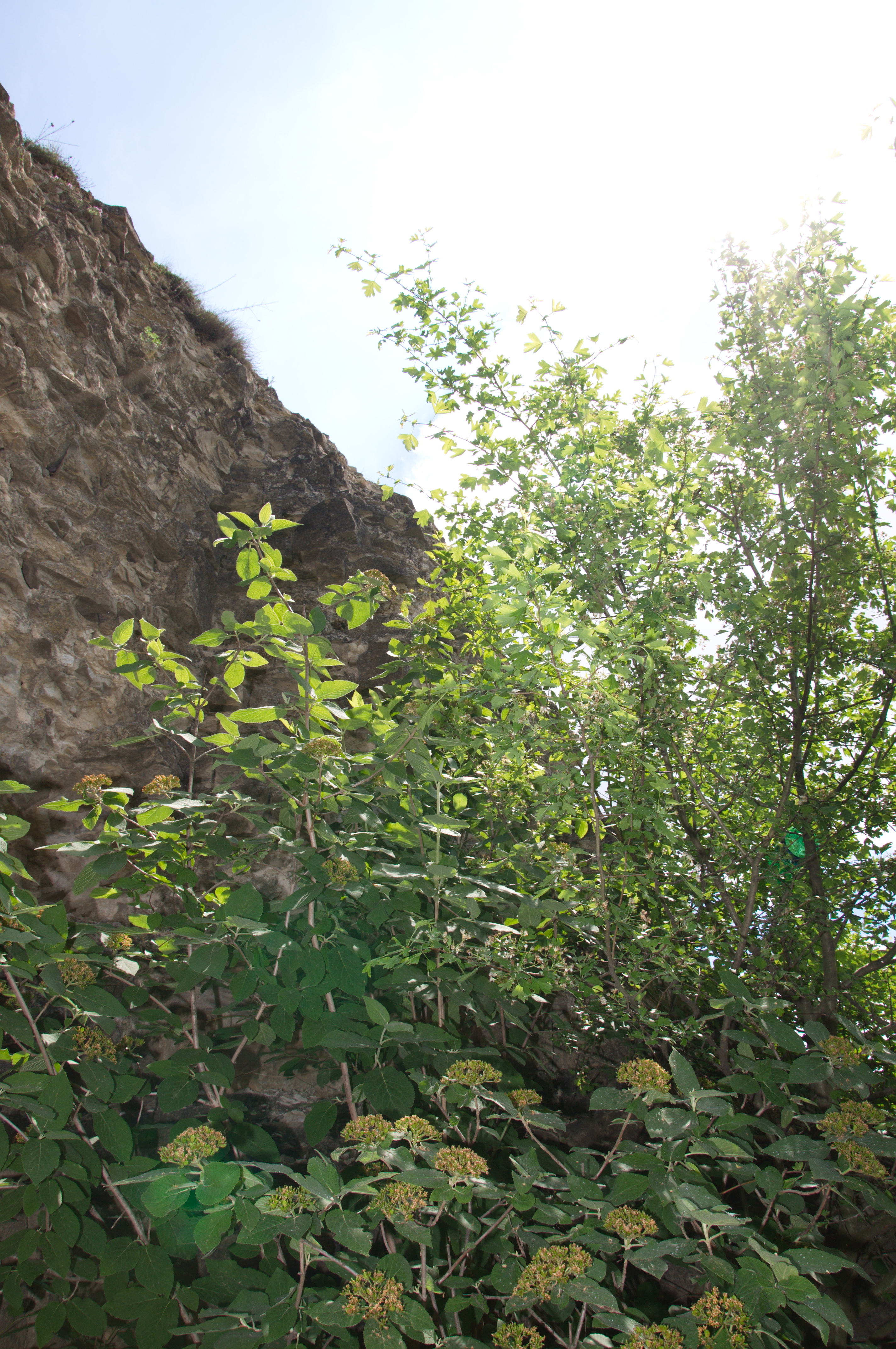
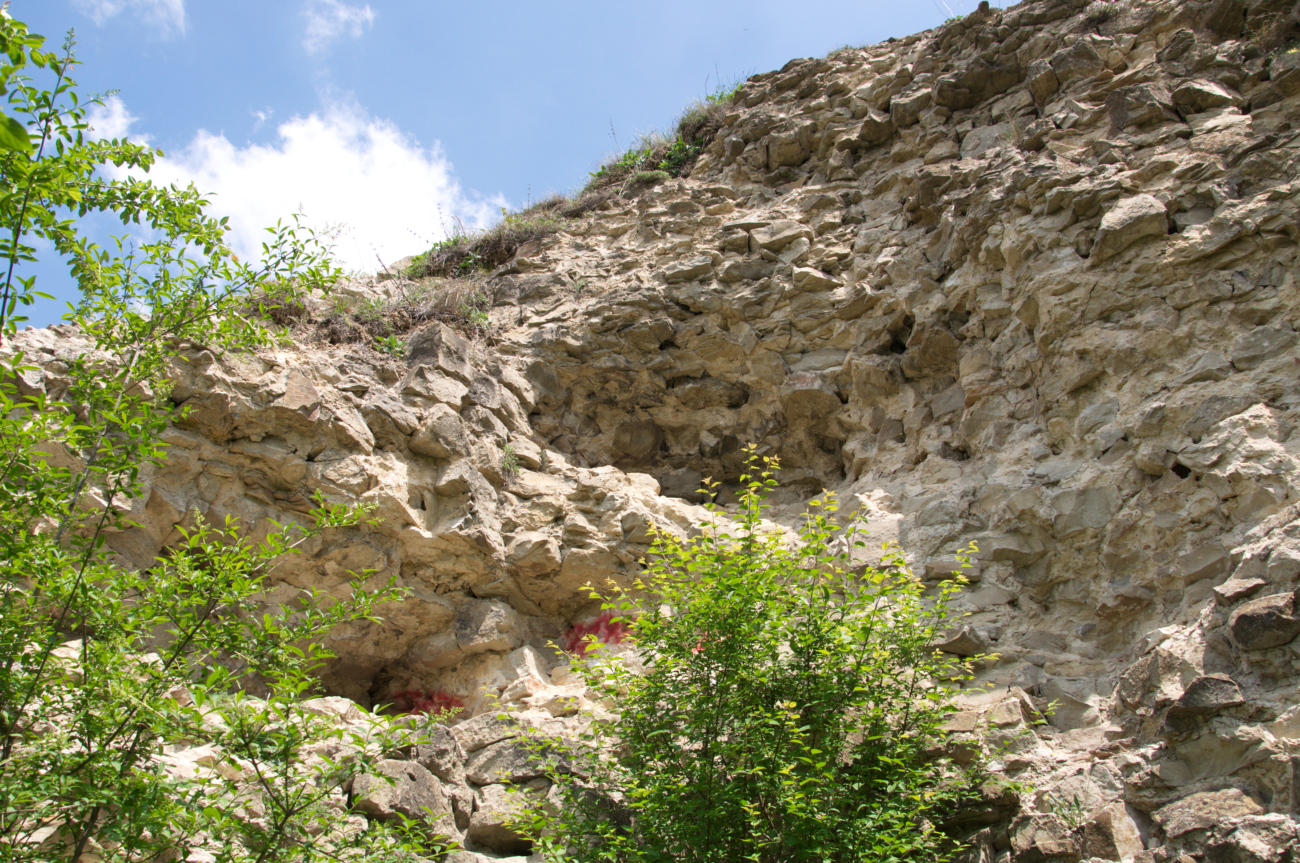
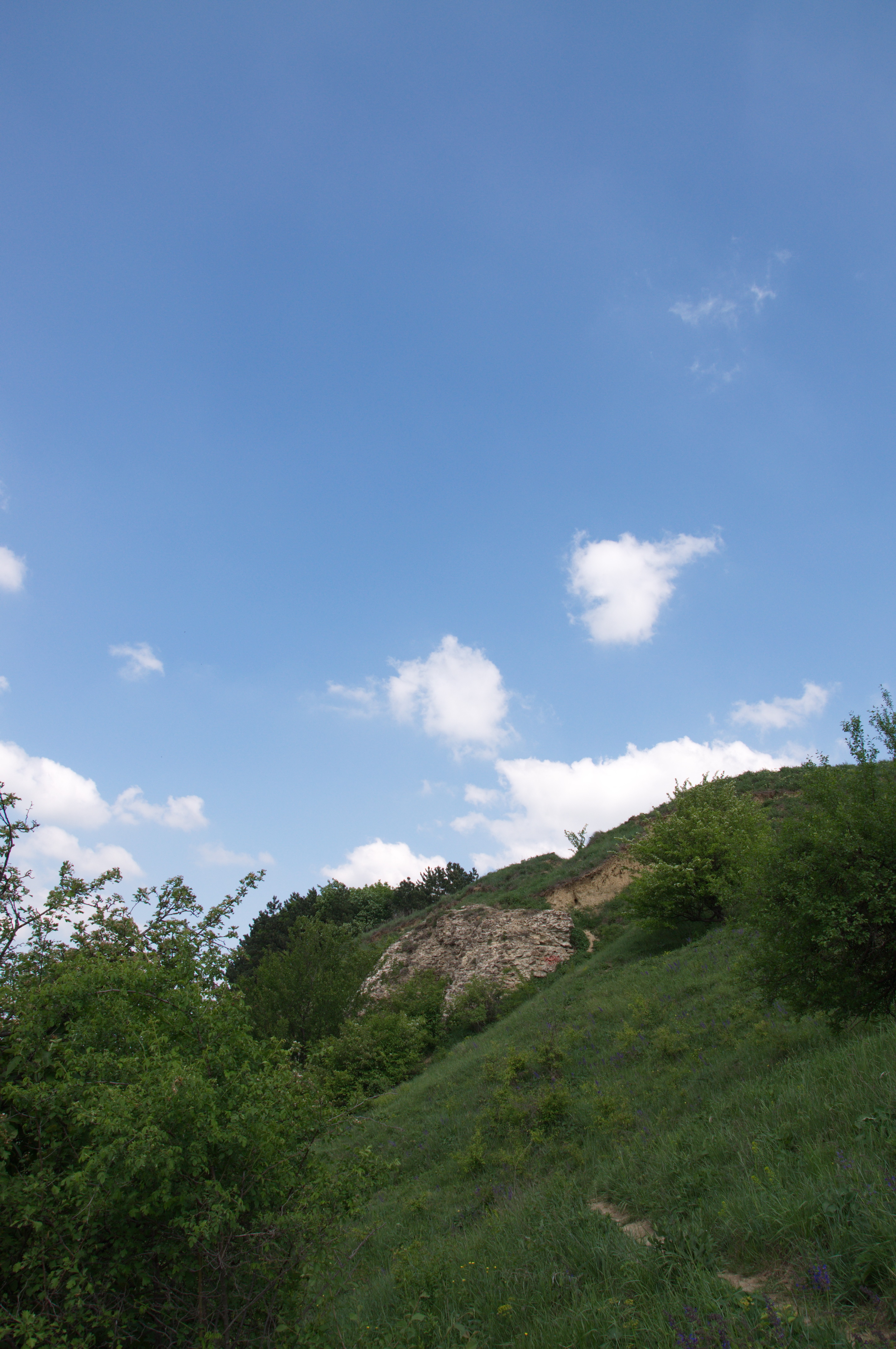
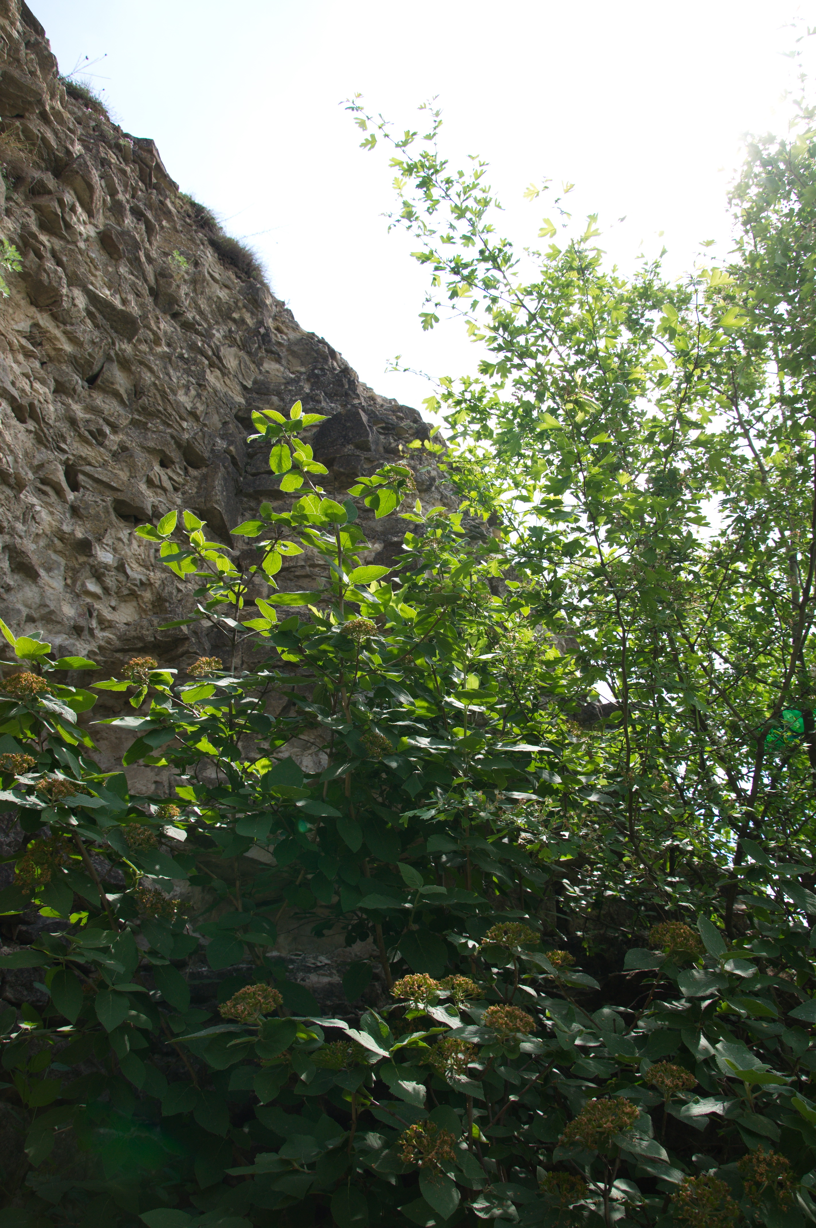
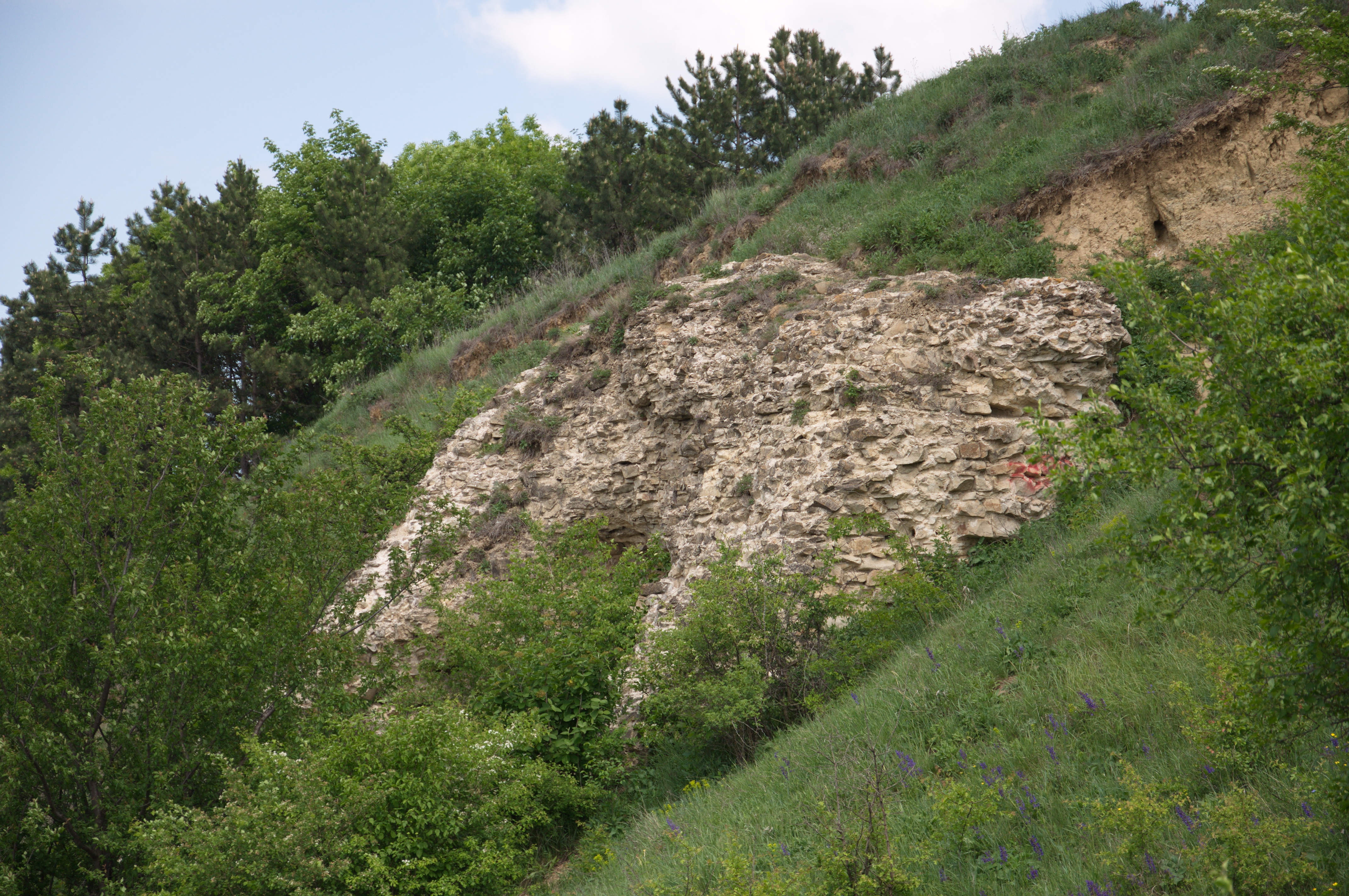
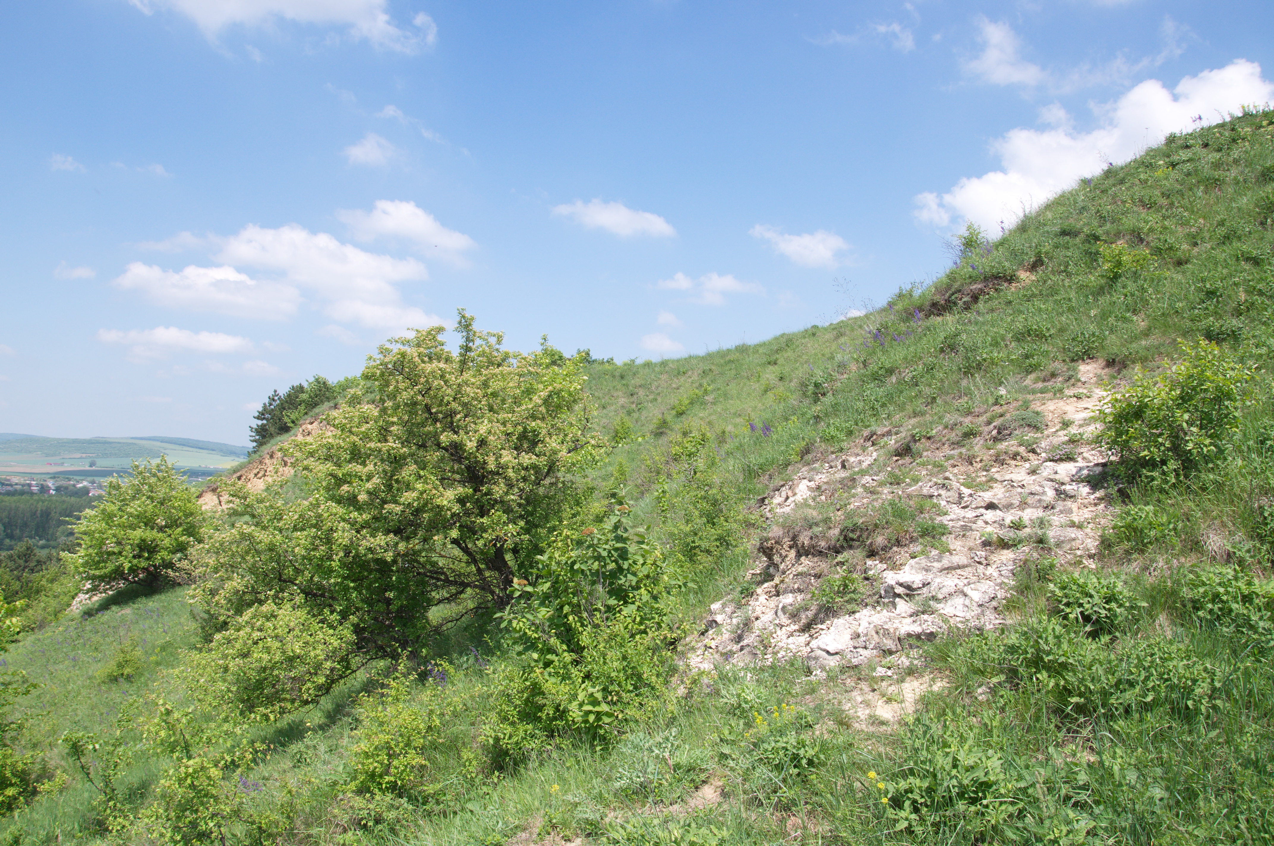
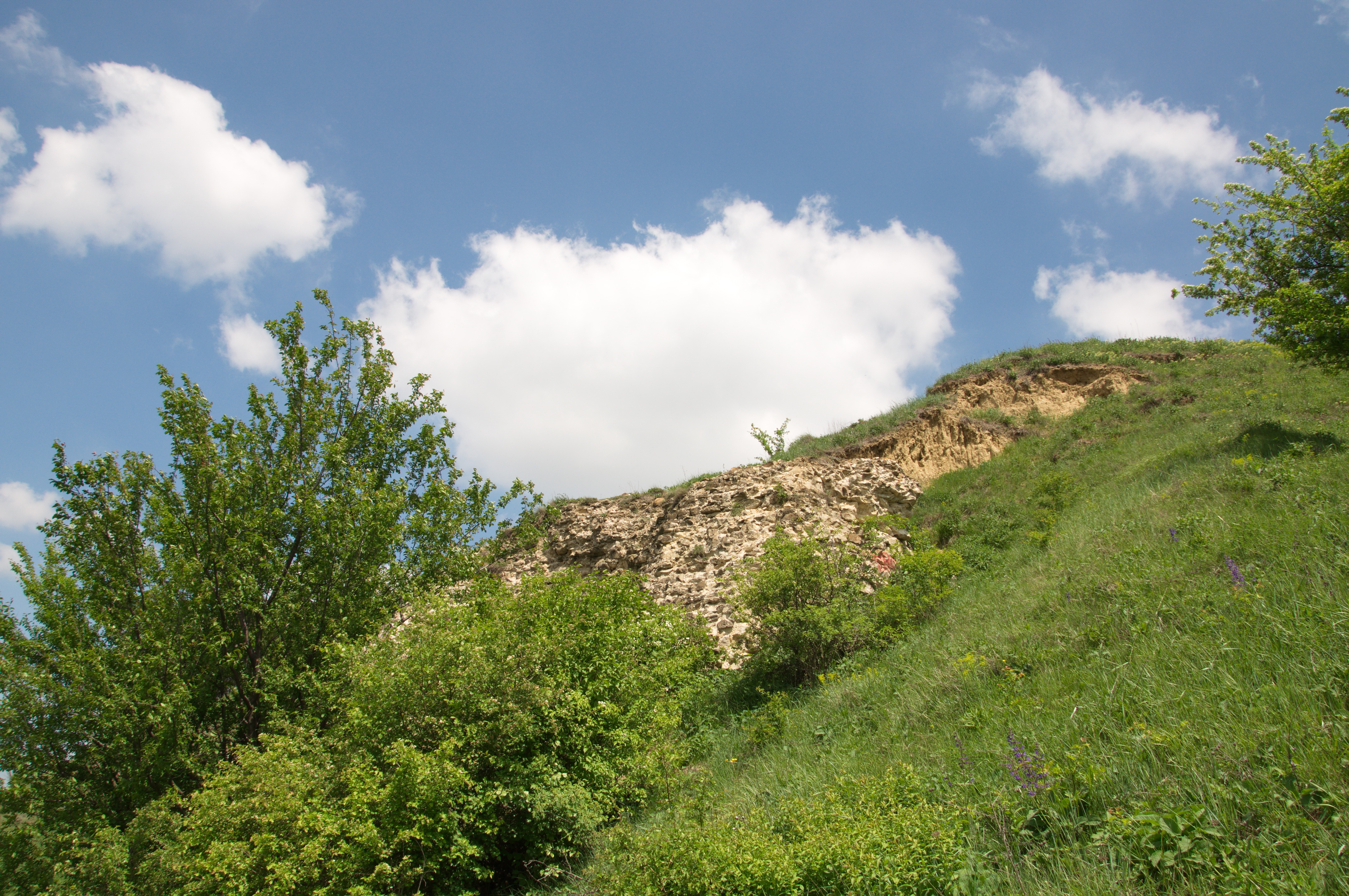
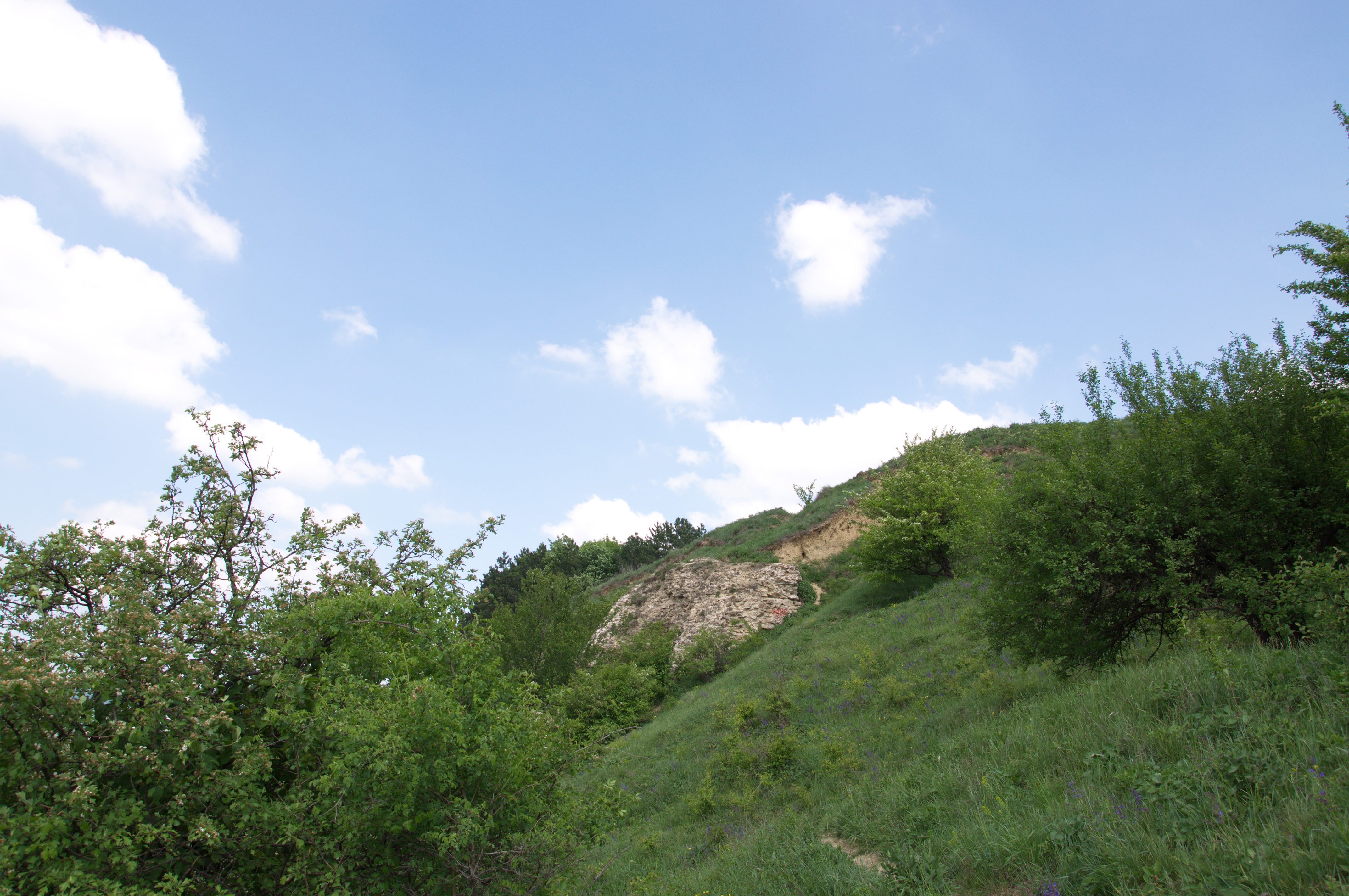
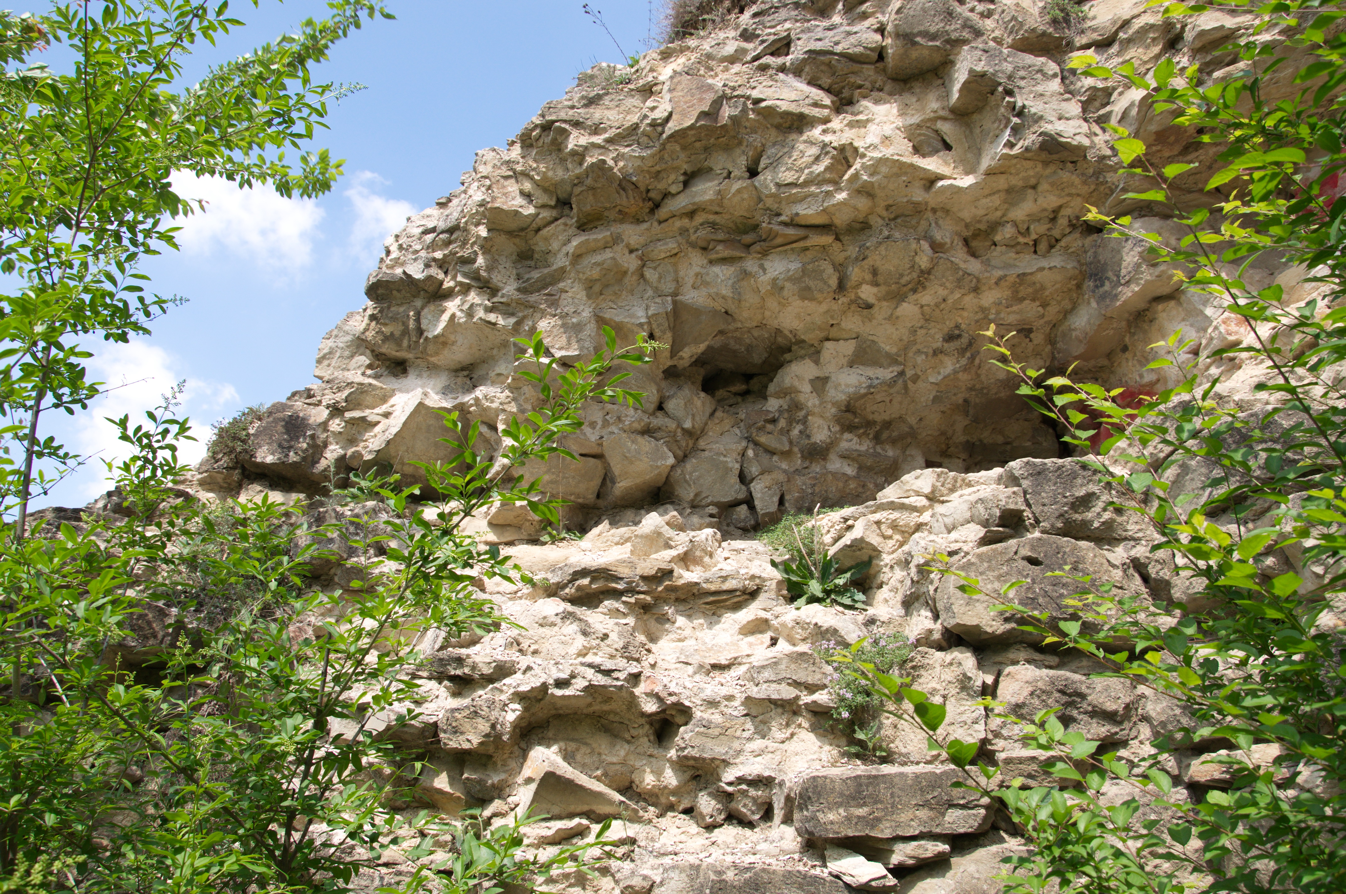
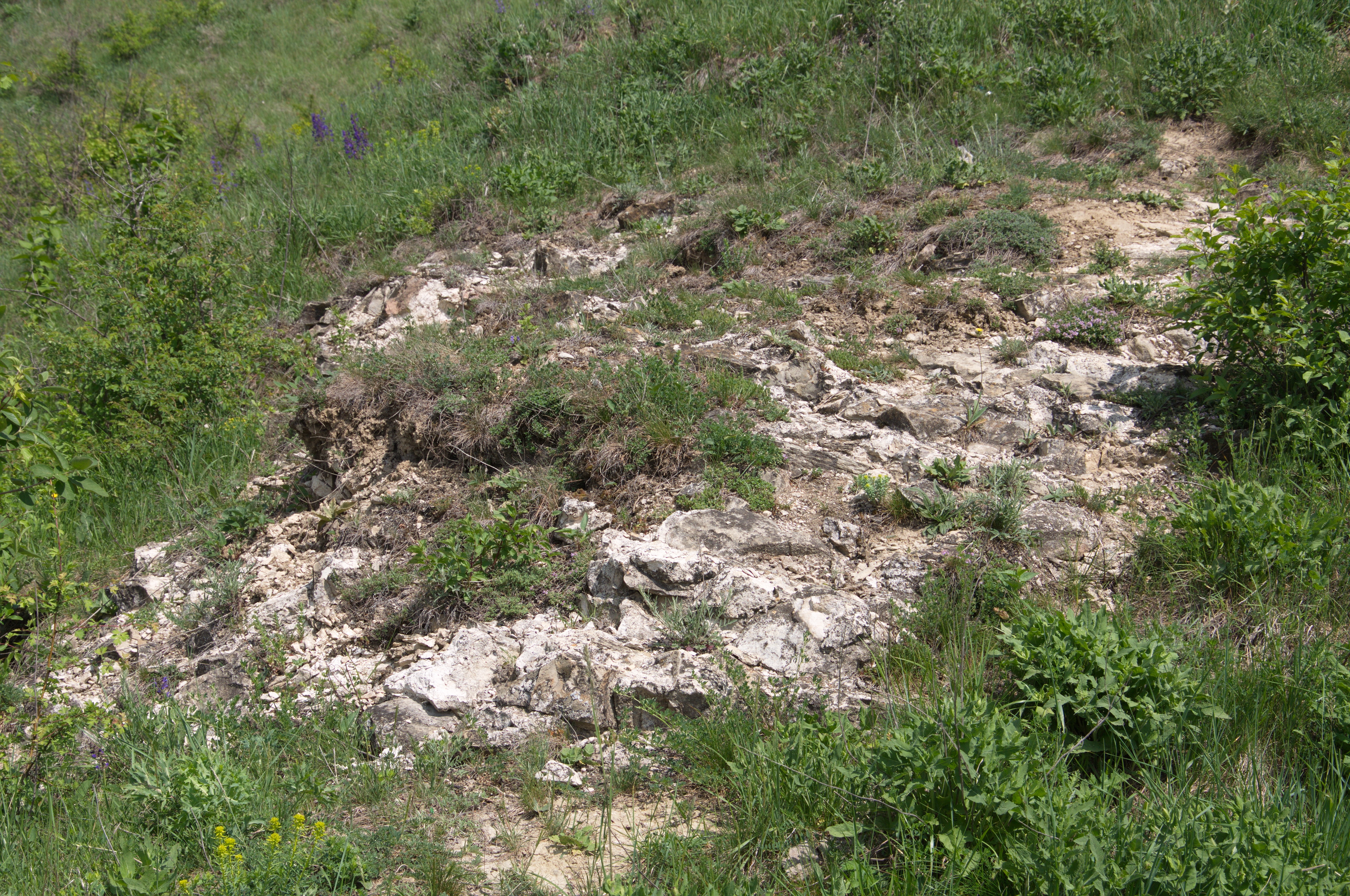
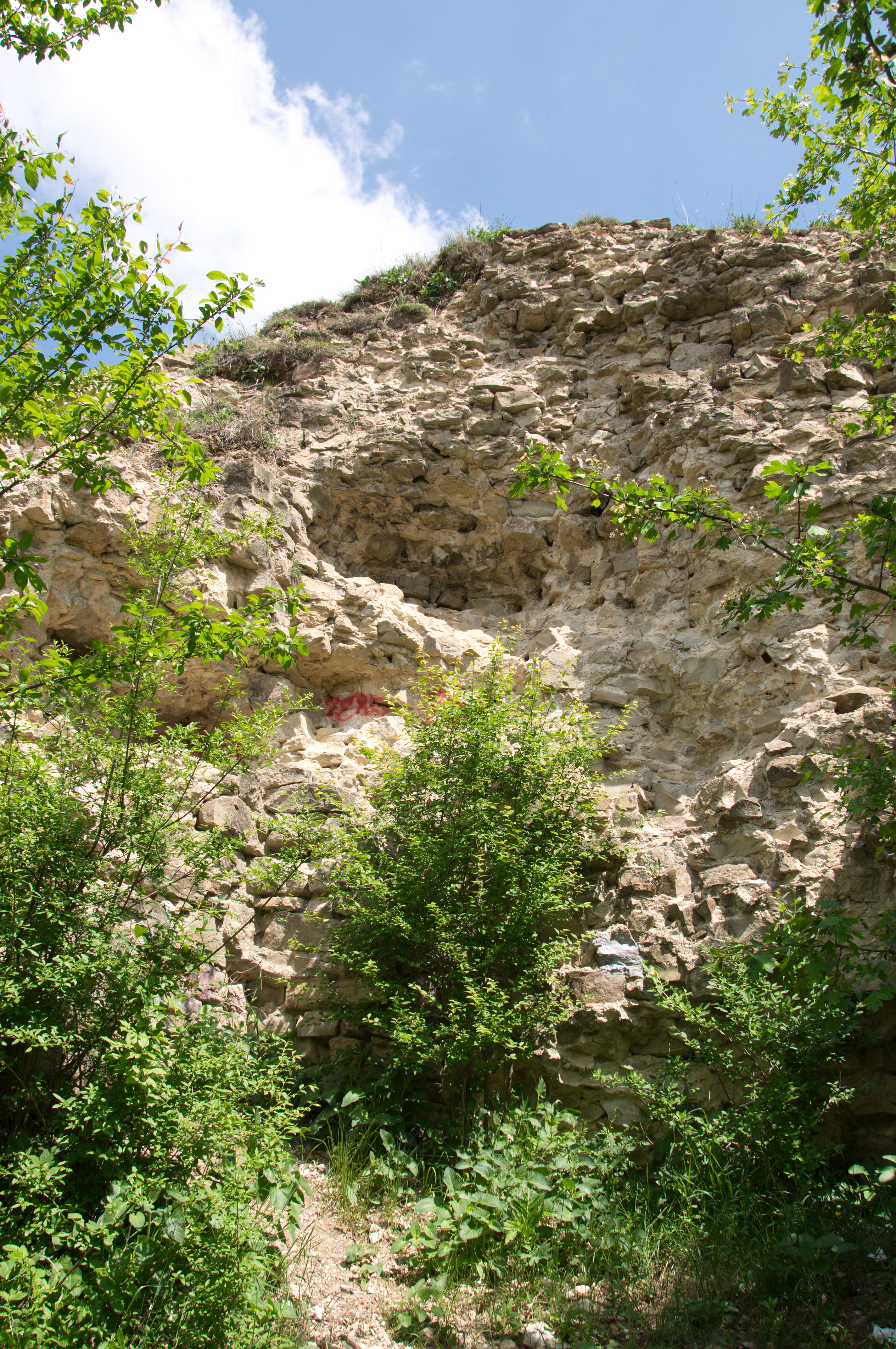
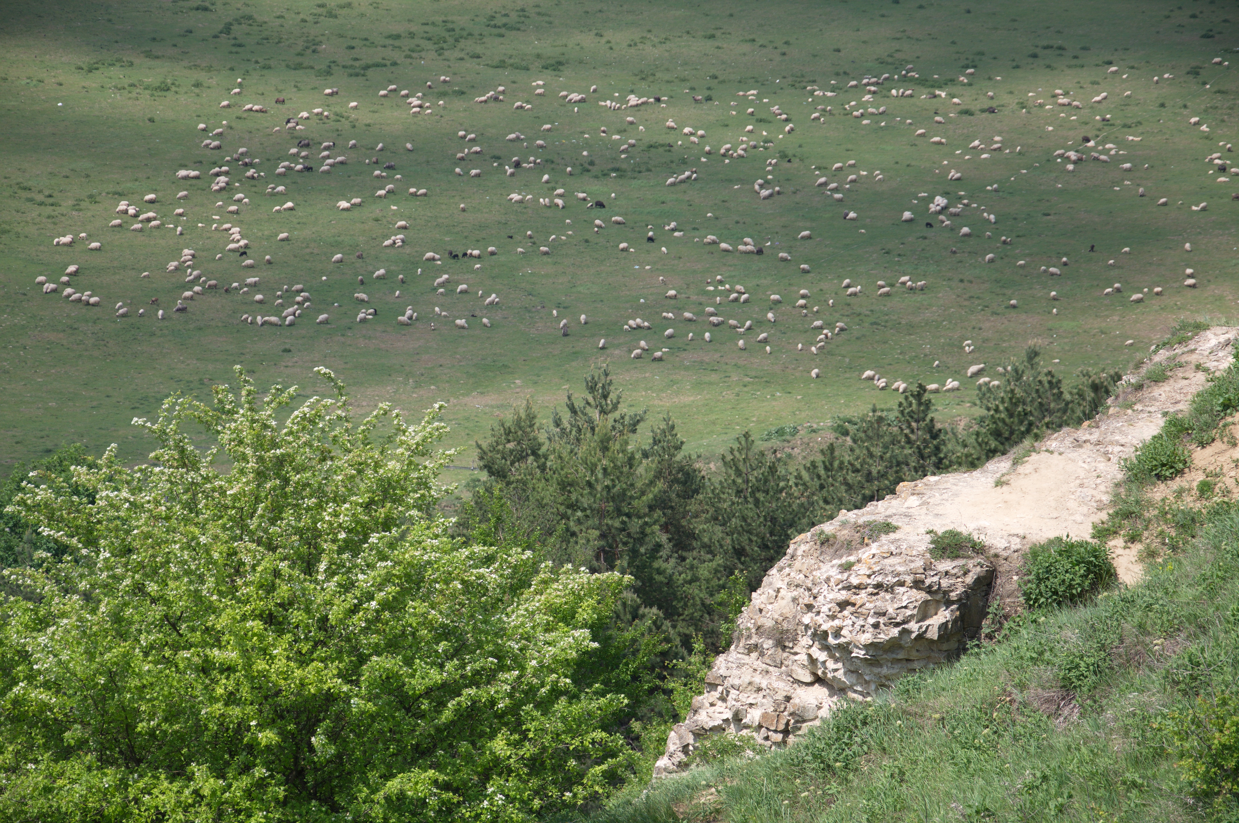
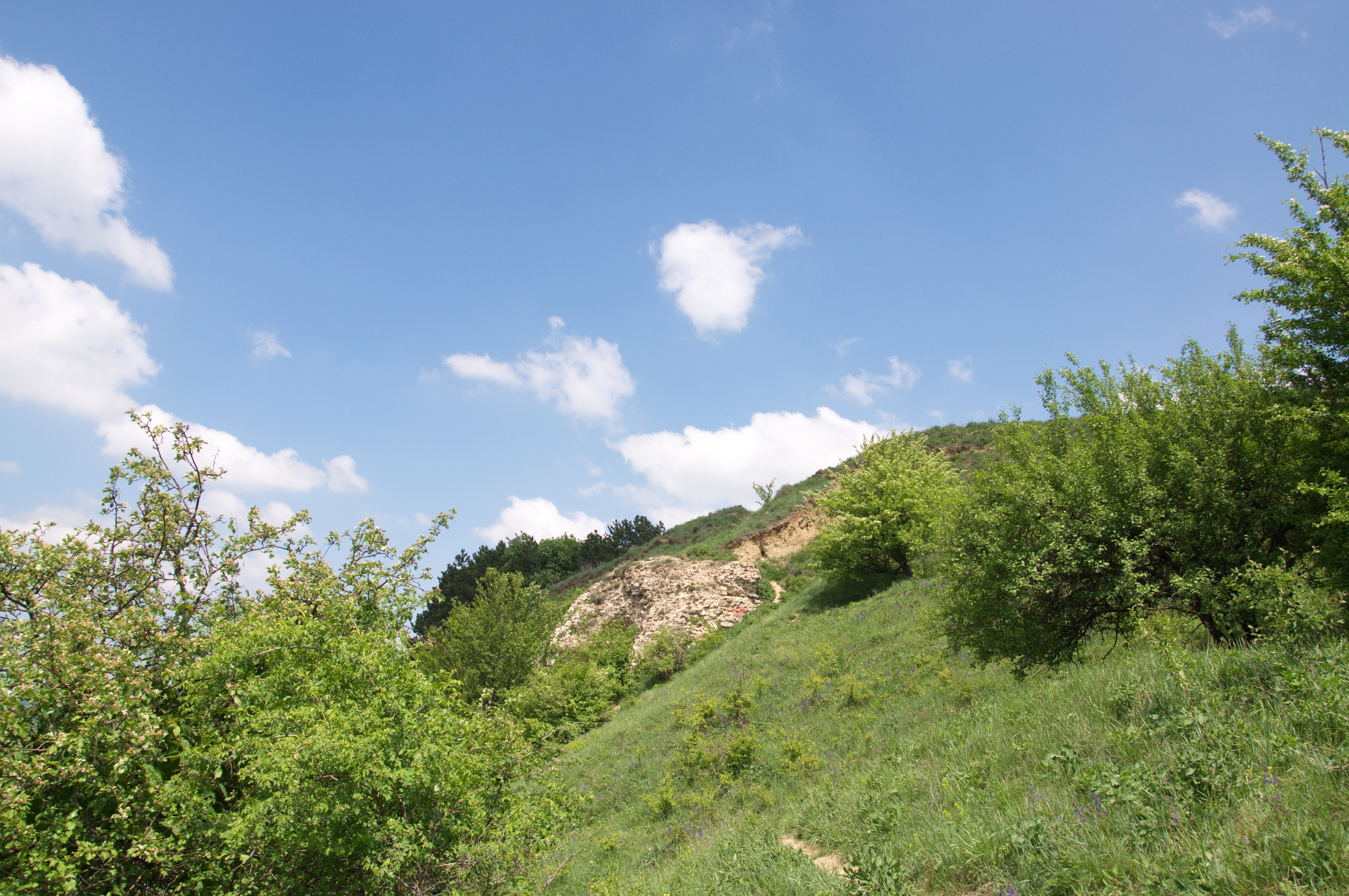
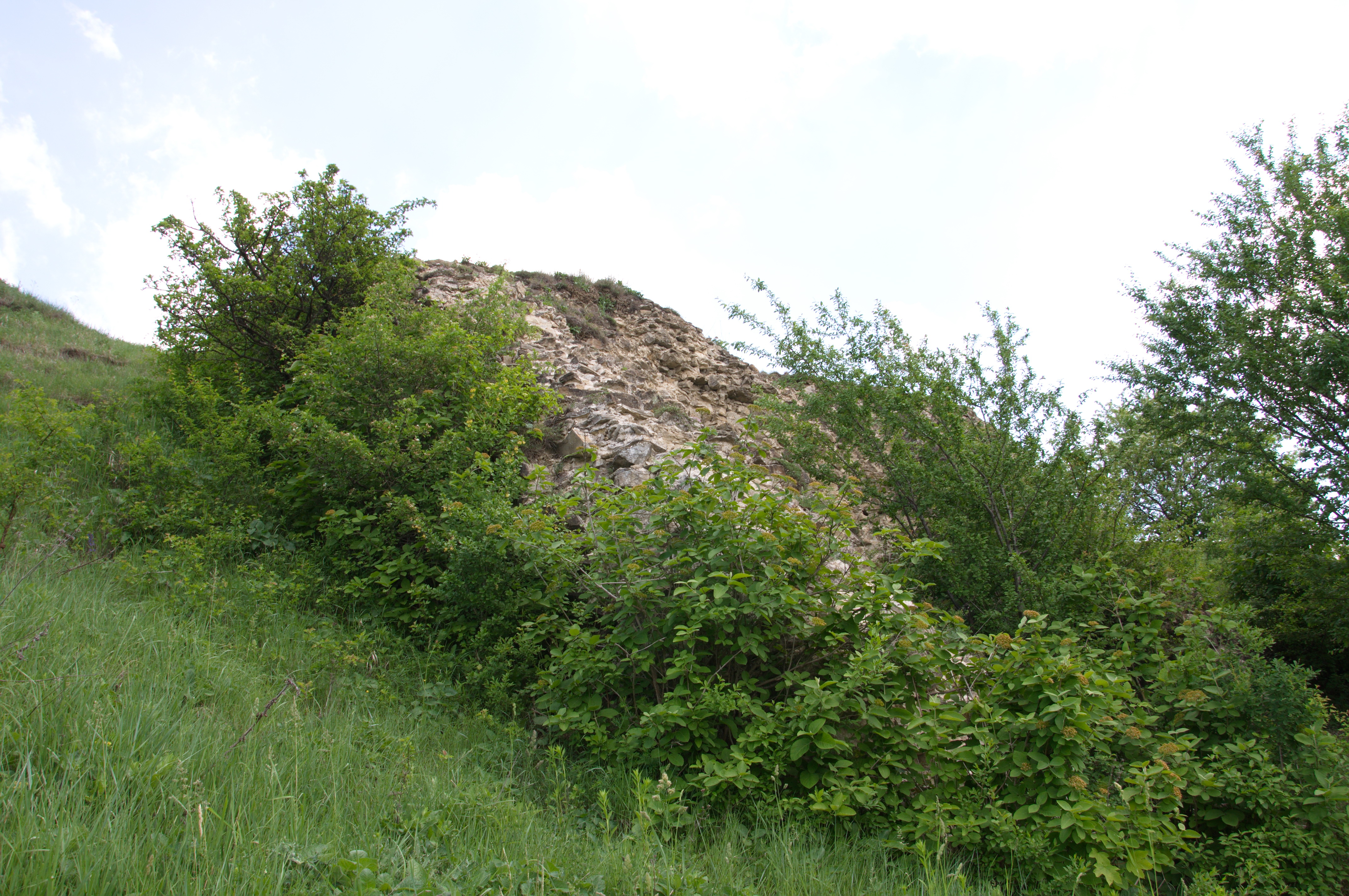
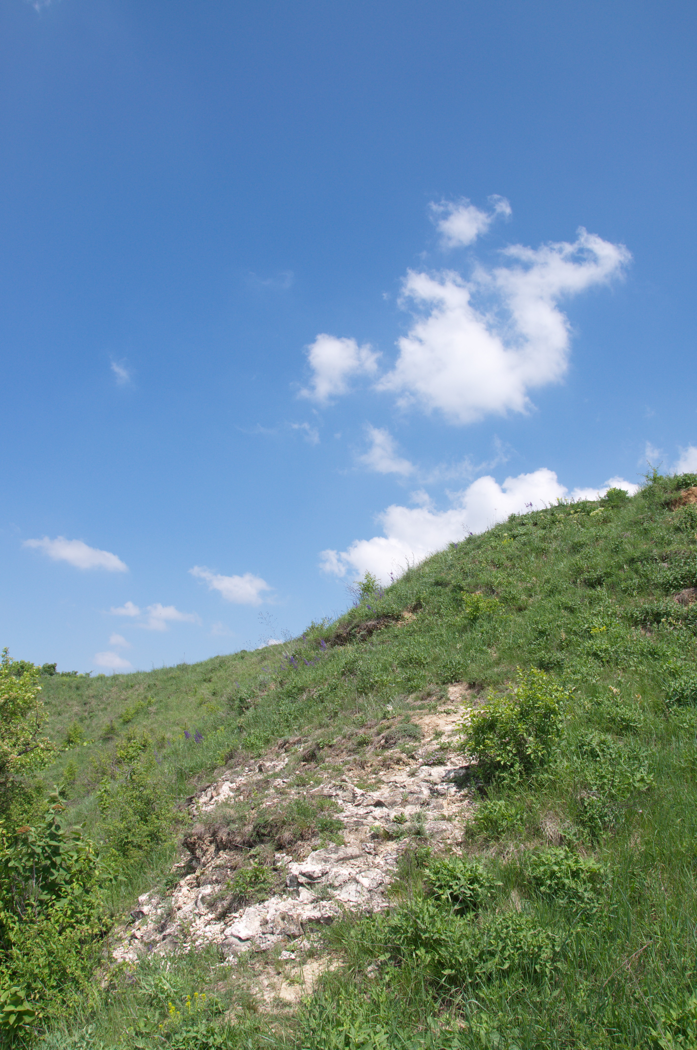
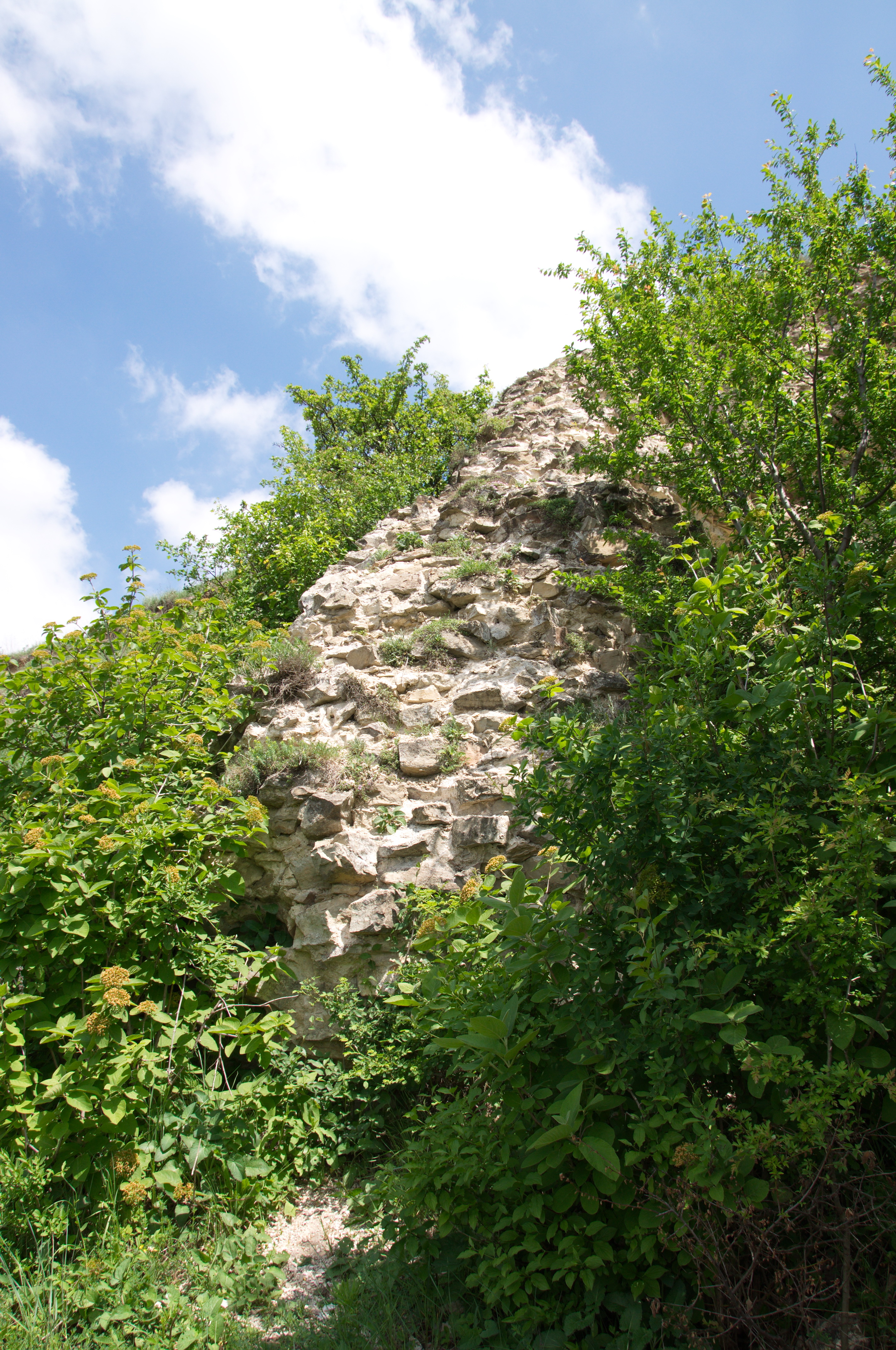
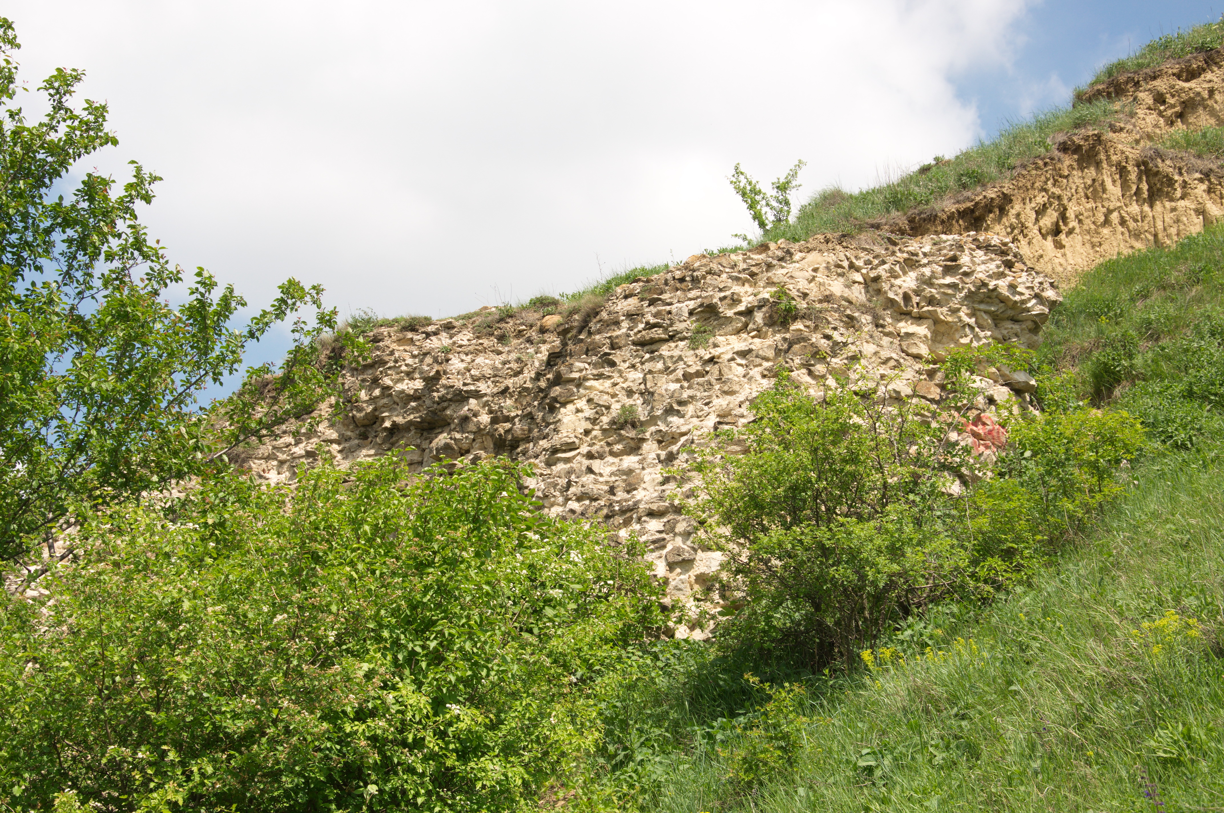
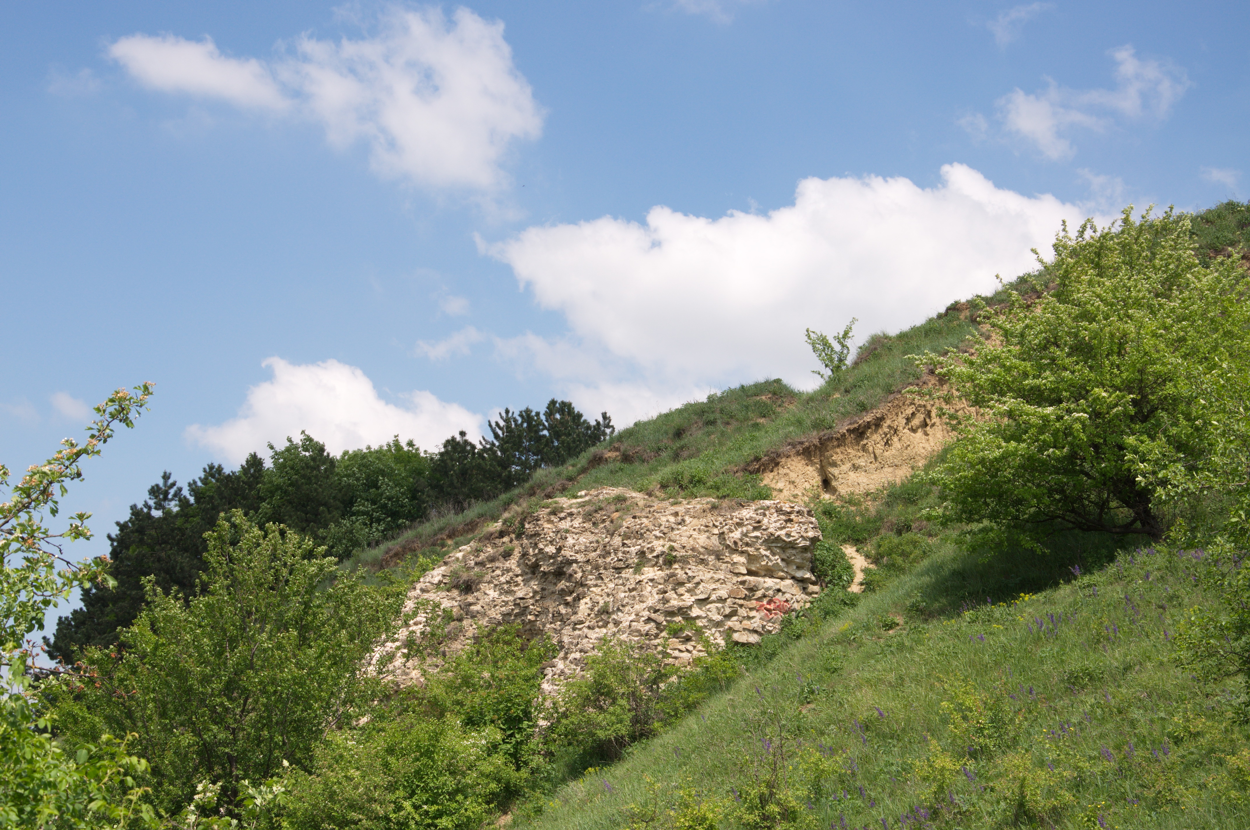
The fortress was built at the end of the XIVth century by Peter I Musat, being dismantled at the beginning of the XVth century by Alexander the Good. Today, from Scheia Fortress only ruins remained. It is situated at the edge of a forest situated on the terminal spur of Septilici Hill (at an altitude of 384 m), at a height over 80m over Suceava grassland. From here one can see the entire northern valley of Suceava. There is no access road to the fortress ruins and not even a sign to signal its existence, many people not even knowing of its existence and much less the place where it is situated. The fortress can be reached through a forest road, at the end of street Mihail Sadoveanu from Suceava, through a small forest until reaching a hill edge. The archaeological findings from the second half of the XXth century revealed the fact that Scheia Fortress was shaped like a rhombus, with almost parallel and even sides, with the inner lenght of 36m. The fortress surface was of 1.450sq.m, of which 1.300sq.m the surface of the enclosure, compared to that of the towers, and the inner area has almost 260m. From the four towers, only the tower on west side remained, which constitutes the most visible proof of the fortress existence. The tower ruins can be observed from a distance, like a grey rock spur lodged in the upper side of the north-west slope of the hill. On the north-east side and partially on the south-east one there was a defence ditch, with the purpose of increasing the defensive potential of the fortress.